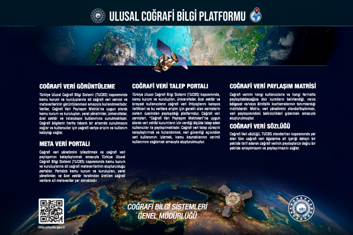
National Geographic Information Platform
The National Geographic Information Platform has been put into use in accordance with geographic data standards and national geographic data responsibility and sharing matrices, with an approach that fulfills the functions of sharing geographic data services with their metadata, displaying the shared data through the map application, controlling the compliance of geographic data services with standards, monitoring and reporting geographic data services in an integrated manner, in accordance with current and technological developments.
Click here to access the system.